 01 / 38
TRACKING TECHNOLOGY · 3 MIN READ
GPS Tracker or Bluetooth Tag? The Important Difference
GPS trackers and Bluetooth tags may both locate lost objects, but their radios, range, power use and privacy implications differ.
Read this story ↗38 original English-language features on satellite navigation, RF detection, hidden trackers and location privacy, linked for deeper reading.
Search, filter and follow the connections. Every article has its sources, related reading and clear routes back to the complete library.
Showing all 38 articles
01 / 38GPS trackers and Bluetooth tags may both locate lost objects, but their radios, range, power use and privacy implications differ.
Read this story ↗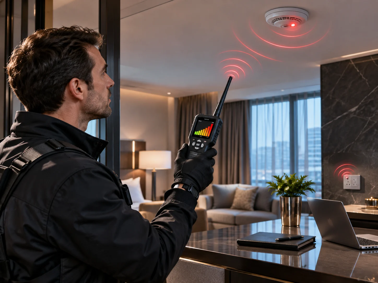 02 / 38
Why an RF detector can miss a dormant tracker, and what a careful inspection can and cannot establish.
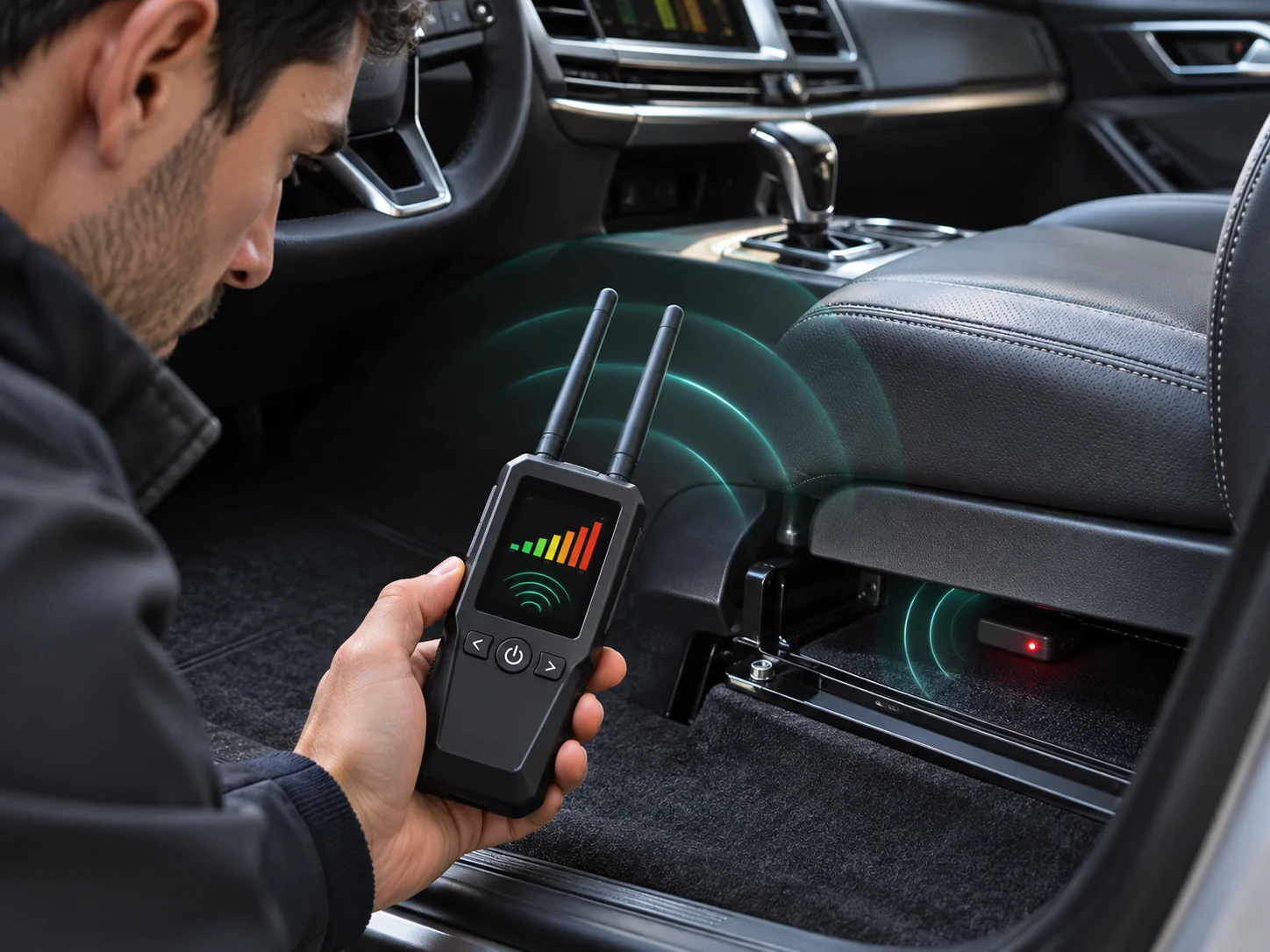
Read this story ↗03 / 38A non-invasive, safety-first guide to spotting unfamiliar tracking devices without damaging vehicle electronics.
Read this story ↗ 04 / 38
Why location accuracy circles, satellite geometry and confidence levels should not be confused with a guaranteed address.
Read this story ↗05 / 38How map databases, geocoding, stale locations and GPS measurements create different kinds of address mistakes.
Read this story ↗06 / 38Why signal-strength bars are not a distance meter or proof of a hidden bug, and how nearby electronics influence readings.
Read this story ↗07 / 38Wireless and offline cameras leave different traces. Learn why an RF meter is only one clue when evaluating a privacy concern.
Read this story ↗08 / 38A plain-English exploration of electromagnetic shielding, GPS reception loss and why a poor signal is not proof of tampering.
Read this story ↗09 / 38A lost cellular connection does not necessarily mean a GPS receiver stopped working, or that stored journey records disappeared.
Read this story ↗10 / 38How vehicle telematics can improve operations while creating difficult questions about disclosure, access and location retention.
Read this story ↗11 / 38How repeated observations expose routines, why pseudonymous data can still be sensitive, and what to question before sharing location history.
Read this story ↗12 / 38How Wi-Fi observations and mobile networks contribute to a phone location estimate when satellite reception is weak or absent.
Read this story ↗13 / 38Why drone positioning depends on more than a GPS dot and how loss of satellite navigation changes operational risk.
Read this story ↗14 / 38How satellite timing supports communications, power and finance—and why GPS is more than a navigation system.
Read this story ↗15 / 38A practical safety-first explanation of documenting an unfamiliar device, preserving context and seeking help when needed.
Read this story ↗16 / 38Why aggregated movement maps can reveal useful transport patterns while still raising privacy and interpretation questions.
Read this story ↗17 / 38Why GPS satellites broadcast timing signals instead of directly locating ordinary consumer receivers on Earth.
Read this story ↗18 / 38Original guide to GPS positioning, RF tracker detectors, GPS jamming and spoofing, consequences for vehicles, drones and aviation, and safer alternatives.
Read this story ↗19 / 38In-depth privacy guide covering cellular GPS trackers, Bluetooth item tags, unwanted tracking alerts on iPhone and Android, vehicle checks and safety-first responses.
Read this story ↗20 / 38Atomic clocks, orbital timing and the unexpected infrastructure hiding behind the familiar blue dot.
Read this story ↗21 / 38Urban reflections, solar storms, jamming and spoofing: why navigation sometimes gives the wrong answer.
Read this story ↗22 / 38What an RF instrument actually measures, why false positives matter and what hidden devices can escape a scan.
Read this story ↗23 / 38Bluetooth tags, cellular trackers, car services and the science and ethics of following an object—or a person.
Read this story ↗24 / 38The hidden location-data economy: app permissions, brokers, geofencing and the stories that movement data can tell.
Read this story ↗25 / 38Why satellite signals struggle indoors, and how phones use other clues to find you inside buildings.
Read this story ↗26 / 38How a short-range Bluetooth tag can be found far away through nearby participating phones—and what that means for privacy.
Read this story ↗27 / 38Reflected satellite signals, narrow streets, and why your map can place you on the wrong side of the road.
Read this story ↗28 / 38Why reporting intervals, radio networks and battery capacity determine how long different trackers keep working.
Read this story ↗29 / 38Why an RF sweep can miss a recorder that is not transmitting, and how to interpret detector results responsibly.
Read this story ↗30 / 38What smartphone warnings about unfamiliar Bluetooth trackers mean, what they do not prove and how to respond safely.
Read this story ↗31 / 38How charged particles in Earth’s upper atmosphere can distort satellite signals and degrade navigation.
Read this story ↗32 / 38Why aviation treats jamming, spoofing and navigation anomalies as operational hazards—not just a map problem.
Read this story ↗33 / 38How virtual geographic boundaries trigger useful alerts, and why the same technique can reveal sensitive routines.
Read this story ↗34 / 38Precise versus approximate location, ongoing sharing, and practical questions for a more meaningful permission audit.
Read this story ↗35 / 38What the European eCall system sends after a serious crash and why it is not the same as constant surveillance.
Read this story ↗36 / 38GPS is a brand name for one satellite constellation; modern receivers often use a family of systems.
Read this story ↗37 / 38How inertial sensors, map constraints and prior observations keep a route moving when satellite signals disappear.
Read this story ↗38 / 38How positioning, communication and detection are separate layers inside a tracking device.
Read this story ↗